Tell us what you’re looking for & we will help you find out
Discover how Survey can support your project
Sit back and wait for one of our experts to get in touch
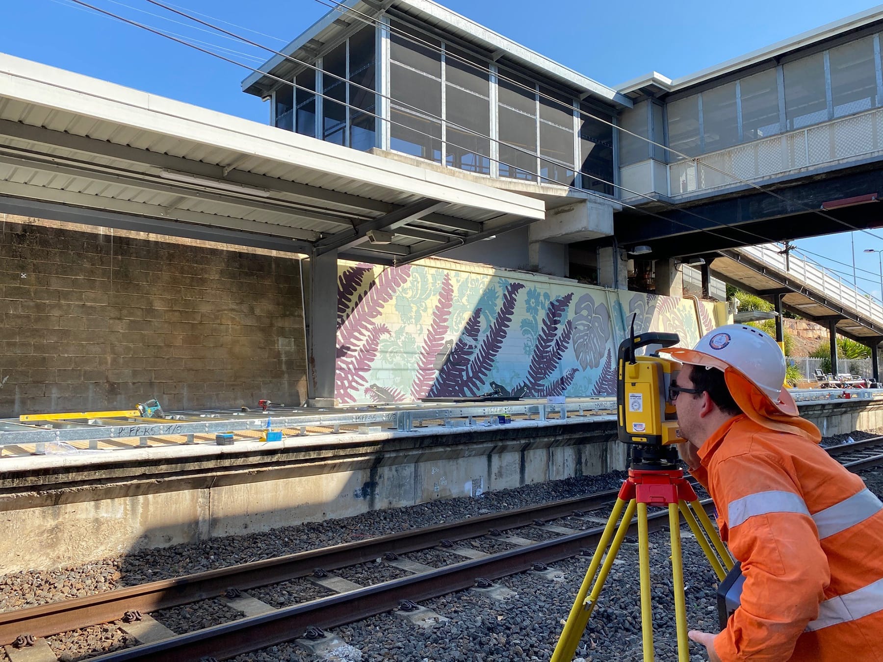
 We can assist you with Site Positioning and Measurement using our Robotic Total Station & Field Link Software.Our Total Station uses precision optics to measure points in the 3-dimensional space at high accuracy and long-distance. We use the Total Station for measuring as-built locations of slabs, anchors, walls, existing services, and much more, to assist with construction set out.We can also integrate the Total Station with our laser scanning technology in order to orientate the scan to real-world coordinates.With the combination of 3D Laser Scanning and Total Station Measurements, time on site and risk of human error is significantly reduced.We can offer our clients the following surveying services using market leading software and 3D scanners these include:
Tell us what you’re looking for & we will help you find out
Discover how Survey can support your project
Sit back and wait for one of our experts to get in touch