Tell us what you’re looking for & we will help you find out
Discover how our Drone Services can support your project
Sit back and wait for one of our experts to get in touch

Holovision offers Aerial Mapping, Aerial Survey and Remote Asset Inspections using market leading drone technology, including:
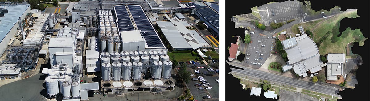
Aerial Surveying allows data to be easily captured for large and hard to access geographic areas, with unparalleled speed. We use a range of digital devices and drone technologies to create a 3D point cloud and mesh models enabling our clients to better plan for their projects.
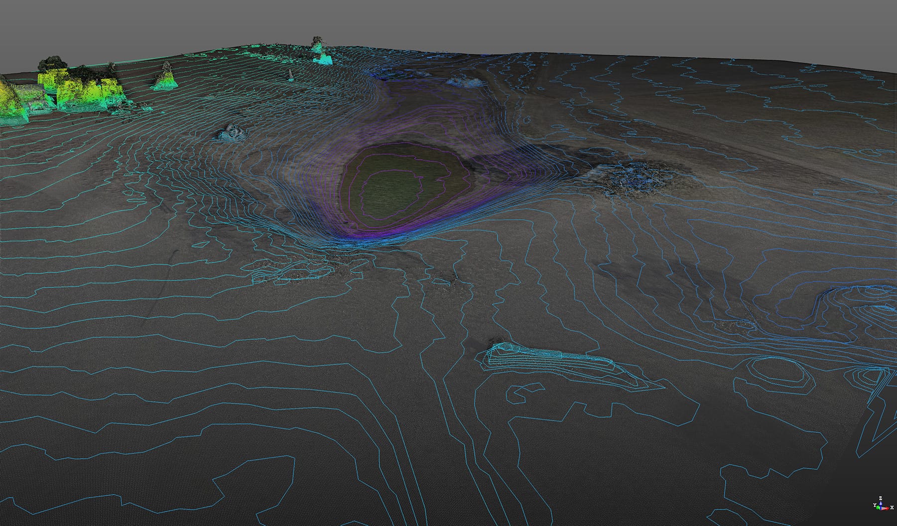
Our drones capture complex variables in terrain, which can be analysed to confirm contour heights, slopes, volumes, and changes in vegetation.
The captured drone data can be used to create an accurate 3D point cloud model for risk management, planning assessments, infrastructure inspections, construction concept design and tender submissions.